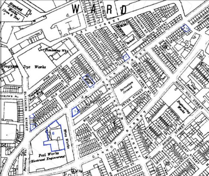
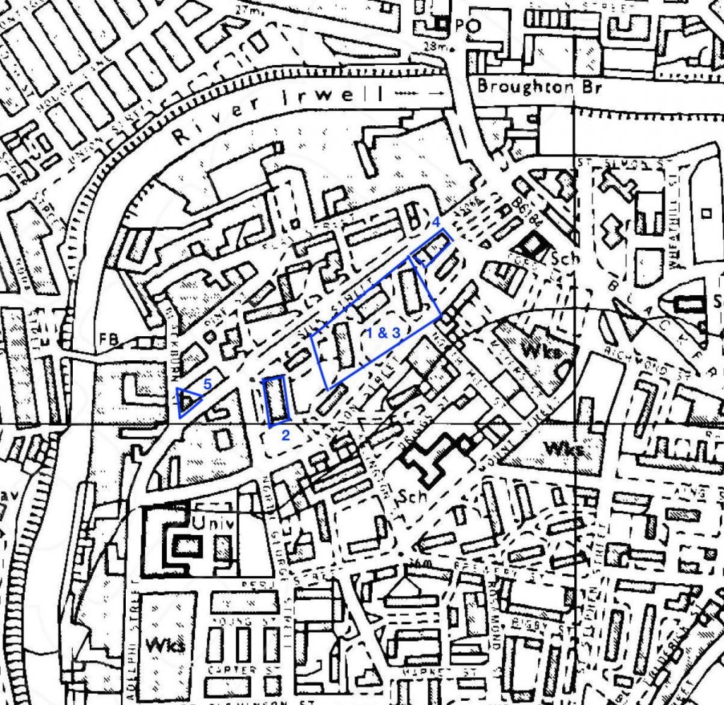
Many parts of Salford were profoundly transformed between the 1950s and mid-1970s, and changes continue today. This post is an ‘essay of images’ that locates some buildings along Silk Street on the changing maps. All images were found on the Digital Salford online databank of images. The blue numbers on the maps refer to the images below. The maps are a bit hard to read but it is possible to zoom into the map.
Hopefully, the photographs are located correctly on the maps. If there is an error, if you have information about any of the buildings, or if you have photographs of the same or any other building along Silk Street. please leave a comment or write to us: themodernbackdrop@salford.ac.uk.
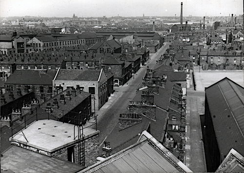
Silk Street before 1930
Digital Salford Collection IS00826.
The Brown Cow, Silk Street. Photographed 1960. Digital Salford Collection JW00129.
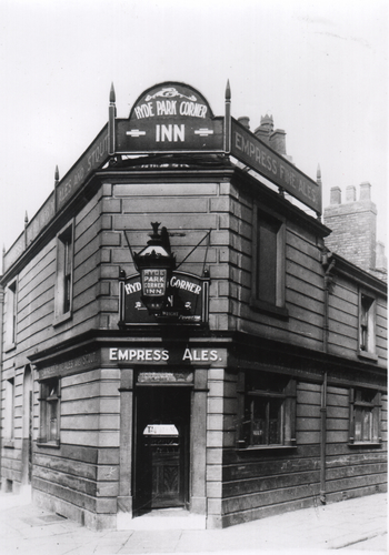
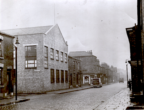
Hyde Park Corner, 126 Silk Street and Blackburn Street. Digital Salford Collection JW00254.
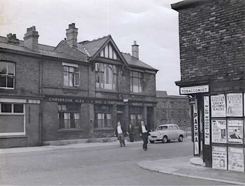
Dog & Partridge, Silk Street. Photographed 1961. Digital Salford Collection JW00191.
Mission Hall(?) on Silk Street at the corner of Sagar Street. Digital Salford Collection JOW00013.
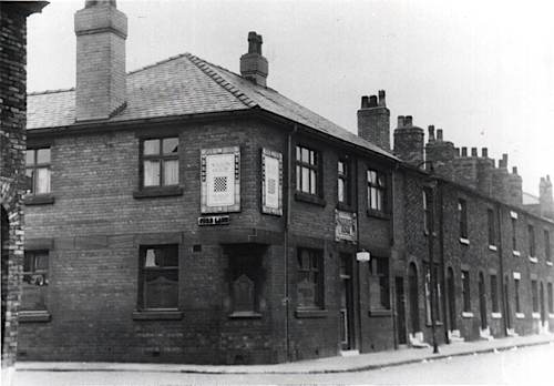
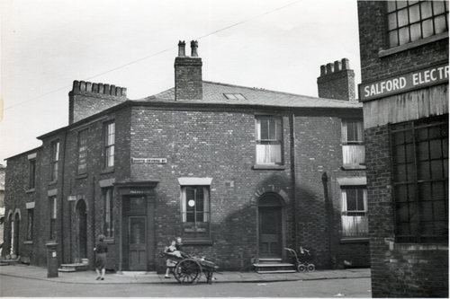
Druids Home, 21 Silk Street and Ford Lane. Digital Salford Collection JW00185.
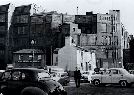
Salford Electrical Instruments Ltd, Silk Street. Digital Salford Collection HK00339.
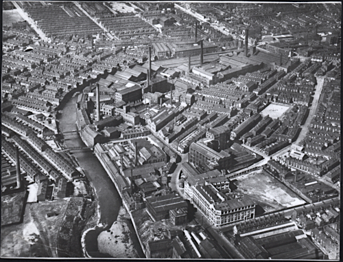
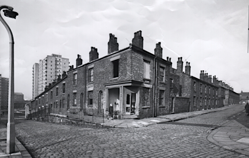
Silk Street c1950 to 1960

Arlington Street, 1953/4. Digital Salford Collection JW00560.
Silk Street with St Ann’s School, 1959. Digital Salford Collection PF00106.
North George Street and Brook Street looking towards Silk Street with tower block, c1962. Digital Salford Collection JW00975.
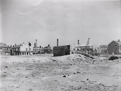
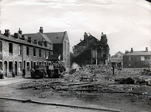
Silk Street 1960 to 1986
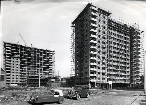
Silk Street Flats under construction, 1961. Digital Salford Collection COR00046.
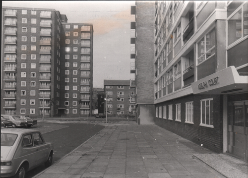
Adelphi Court and Silk Street Flats, 1962. Digital Salford Collection, COR00045.
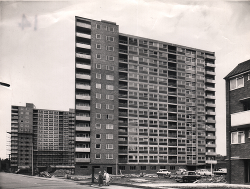
Silk Street Flats, 1962. Digital Salford Collection COR00045.
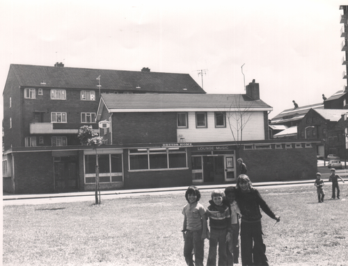
Druids Home, 21 Silk Street and Ford Lane, photographed 1977. The original pub (see above) was demolished. The new Druids Home was built in 1968. Digital Salford Collection JW00186.
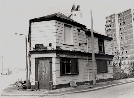
Hyde Park Corner Pub, Silk Street, photographed 1986, Digital Salford Collection GB00200.
The images in our blog post were taken from Digital Salford that is part of the collections of Salford Museum and Art Gallery. These images were gifted to the museum and the original owner is not always known. If you are the copyright owner of an image, and if you would like to tell us more about it, please contact us. Please also contact us if you would like us to remove your image: themodernbackdrop@salford.ac.uk
Fascinating. I lived in the flats in the 70s and found the pre-redevelopment images deeply interesting.