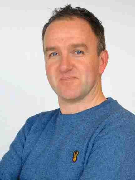
Neil Entwistle

email – n.s.entwistle@salford.ac.uk
My research interests principally lie in the fields of hydromorphology, river restoration, catchment connectivity, ecohydraulics and fluvial and glacial sediment dynamics. I use a range or remote sensing methods to map and model spatial and temporal changes in topography, hydraulics and fluvial habitat, using these data for a variety of environmental decision making scenarios.
My use of innovative remote sensing methods developed from the use of Terrestrial and Aerial Lidar (TLS and ALS) to drones in 2014, where I am a trained and CAA licensed pilot and have used a variety of sUAV platforms for data collection spanning the globe. I collaboratively use data captured from these platforms for a wide range of research projects for example; UK Natural Flood Management and river restoration, water level and sediment management in South Africa and forest ecosystems in Chernobyl.My research interests principally lie in the fields of hydromorphology, river restoration, catchment connectivity, ecohydraulics and fluvial and glacial sediment dynamics. I use a range or remote sensing methods to map and model spatial and temporal changes in topography, hydraulics and fluvial habitat, using these data for a variety of environmental decision making scenarios.
My use of innovative remote sensing methods developed from the use of Terrestrial and Aerial Lidar (TLS and ALS) to drones in 2014, where I am a trained and CAA licensed pilot and have used a variety of sUAV platforms for data collection spanning the globe. I collaboratively use data captured from these platforms for a wide range of research projects for example; UK Natural Flood Management and river restoration, water level and sediment management in South Africa and forest ecosystems in Chernobyl.
CURRENT AND PAST PROJECTS
Details of my current research activity can be found:
in the dedicated AquaUoS web pages
in my Salford Profile Page, and
on my TWITTER account and the AquaUoS TWITTER account.