Mark Danson


email – f.m.danson@salford.ac.uk
My research interests are concerned with mapping, modelling and understanding environmental change, specifically the effects of climate and human activity on the biosphere. My main area of expertise is in the application of Earth Observation satellite and airborne remote sensing imagery to monitor change in ecosystems. I have pioneered the use of remote sensing to measure vegetation water content and applied these methods in research to predict wildfires in the Mediterranean and UK. I have also used remote sensing to map landscape in China and central Asia and model the transmission of the deadly parasite Echinococcus multilocularis.
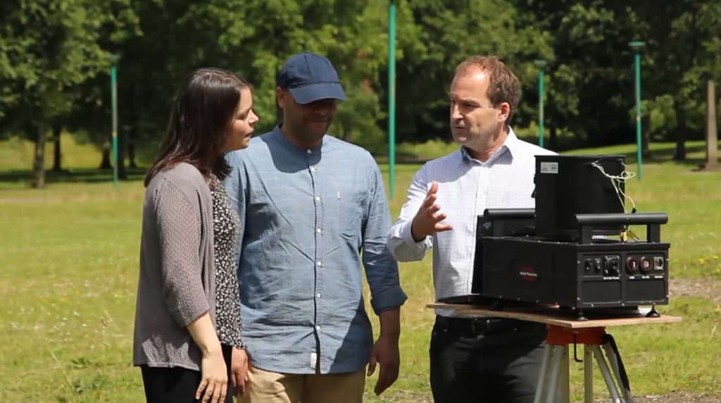
Most recently I have developed the World’s first dual-channel full-waveform terrestrial laser scanner that is now being used to make the most accurate three-dimensional structural measurements of vegetation canopies ever made.
CURRENT AND PAST PROJECTS
Details of my current research activity can be found:
in my Salford Profile Page